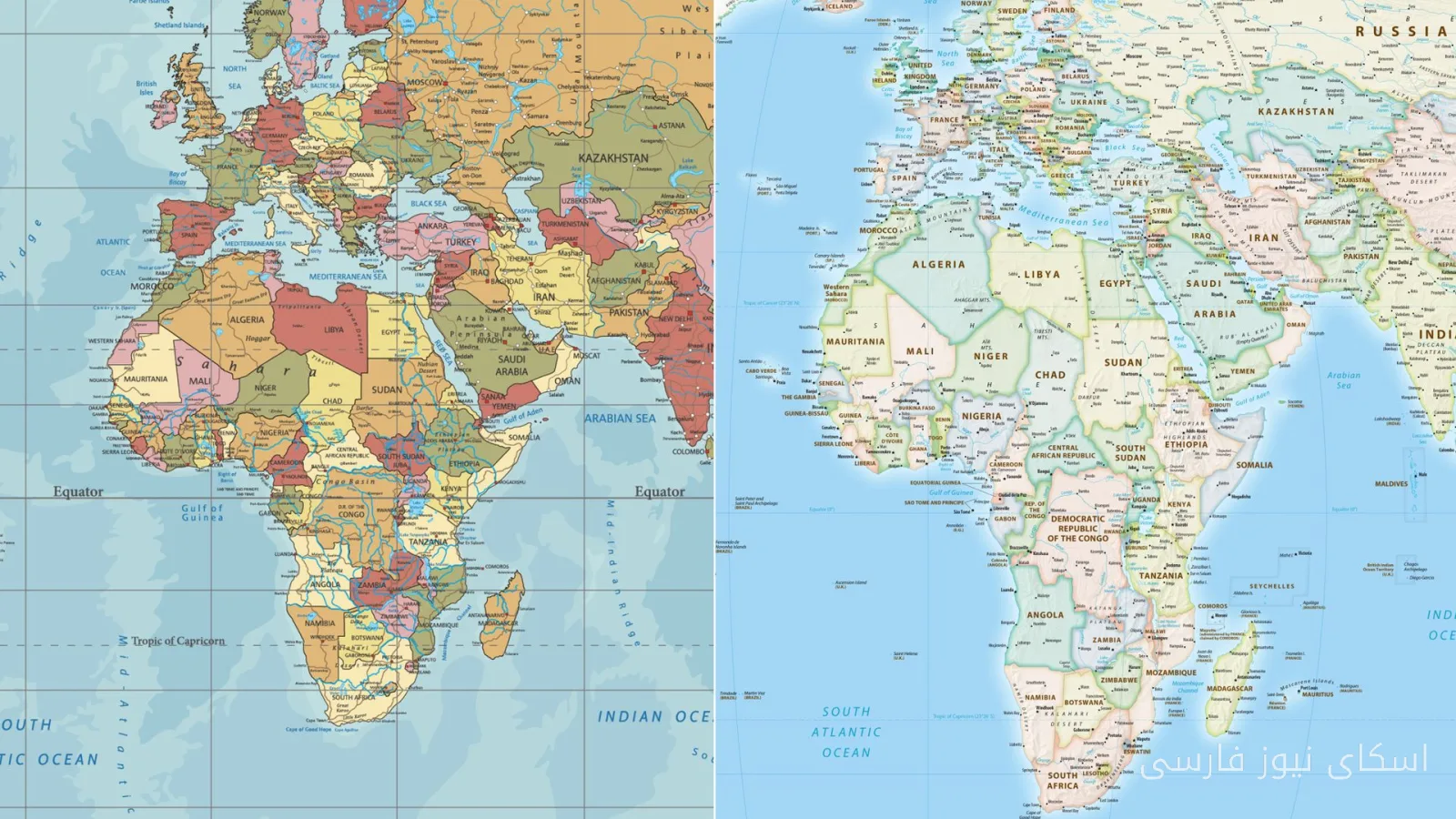
Africa, a continent known for its cultural and natural diversity, is now in the global spotlight. More than ۱۶۰ countries at the United Nations have recently voted unanimously to move towards a new map that better depicts the true size of this continent. This decision is not only a visual change but also a significant shift in our understanding of global geography and history.
History of World Maps
World maps have largely been designed based on an outdated and inaccurate model of the world created about ۵۰۰ years ago. These maps particularly misrepresent the sizes of continents, with Africa, one of the largest continents, being depicted as significantly smaller than it actually is. These inaccuracies have impacted not only geographical perspectives but also policies, economies, and even cultures.
Impact of the New Decision on the World
The new decision by the United Nations could lead to profound changes in our understanding of geography and history. With this change, it is expected that more attention will be drawn to the social and economic challenges facing the African continent. Many African countries are grappling with various crises, including poverty, climate change, and economic inequality. Accurately depicting the true size of this continent could help raise global awareness and support for these countries.
Moreover, this action could strengthen cultural and national identity for African countries. By showing the true size of Africa, this continent can be recognized as a key player on the global stage, and the voices and demands of its people can receive more attention.
Ultimately, this map change is not just a symbolic action but a positive step towards a better and fairer understanding of the world. Now is the time to pay attention to the truth of Africa's true size and give it the place it deserves.